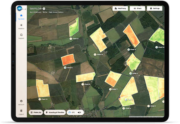
SKYFLD Biomass maps are based on NDVI imagery. Biomass maps give an overview of crop health and a visual indication of heterogeneity in the field and across your farm. With SKYFLD you get a three year biomass history and a new image every 3-12 days. As a result you are always aware of the status of your crops, and can prioritise areas for further investigation or scouting.
FREE
If you would like Unium to supply you with a Biomass map of your field for FREE please submit your details in the form below.


